Salem Maps
Item set
- Title
- Description
- Contributor
-
Salem Maps
-
Salem’s map collection includes topographical and historical maps of the city.
-
Institution: Salem Public Library
Items
-
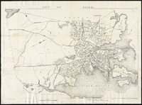 City of Salem From Walker's Atlas of Massachusetts.
 -
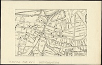 [Map of Salem, Mass.] On verso: "Field Meeting. The Topsfield Historical Society will hold a Field Meeting at Salem, on Thursday, July 20, 1905 ..." Signed by George Francis Dow, Secretary.Digital copy available at the Norman B. Leventhal Map Center.
 -
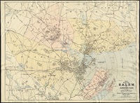 Map of Salem and Surrounding Places Map of Salem and surrounding places in 1906, prepared and published for the Naumkeag Directory. Includes street detail for Salem, Beverly, Danvers and Marblehead. Digital copy available at the Norman B. Leventhal Map Center.
 -
 Map of Salem Village in 1692 Map of Salem Village and surrounding areas in 1692. Physical copy available at the Salem Public Library.Digital copy located at the Salem Witch Trials Documentary Archive & Transcription Project.
 -
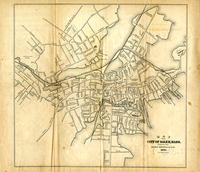 Map of the City of Salem Digital copy available at the Salem State Digital Commons.
 -
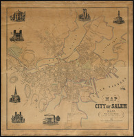 Map of the City of Salem Map detailing streets and properties of Salem in 1851.
 -
 Plan of the Town of Salem Scanned from Mr. Samuel McIntire, carver, the architect of Salem, fig. 16. Created from surveys made in 1796 & 1805. From Salem State University Archives: “This map, prepared in 1820 but based on surveys from 1796 and 1804, offers a point of comparison for studying both “change over time,” and also a different perspective from the contemporary Bowditch Chart, above, Note the detail of wharves on Derby St. and Stage Point.”Physical copy of map located at Salem Public Library, Maps vertical file. Digital copy available at the Norman B. Leventhal Map Center.
 -
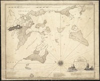 Chart of the harbours of Salem, Marblehead, Beverly, and Manchester, from a survey taken in the years 1804, 5 & 6 From the Salem State University Archives: “This provides an “aerial” view of the harbors, waterways and hazards ships had to navigate (within close range of home) at the height of China/ East Indies trade. Offers a sense of the complexity/difficulty of the act of navigation.”Digital copy available at the Norman B. Leventhal Map Center.
 -
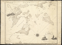 Chart of the harbours of Salem, Marblehead, Beverly, and Manchester, from a survey taken in the years 1804, 5 & 6 From Salem State University Archives: “This provides an “aerial” view of the harbors, waterways and hazards ships had to navigate (within close range of home) at the height of China/ East Indies trade. Offers a sense of the complexity/difficulty of the act of navigation.”Digital copy available at Norman B. Leventhal Map Center
 -
 Plan of Salem Common "Plan of Salem Common made about the year 1800 for the use of the committee who had the [???] in levelling the common and filling up the dirty pond-holes. Gen Derby was chairman of this committee and we collected by [???] about $2000 to pay the expense.” Digital copy available at the Norman B. Leventhal Map Center.
 -
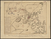 A Plan for the Town and Harbour of Boston “A plan of the town and harbor of Boston and the country adjacent with the road from Boston to Concord showing the place of the late engagement between the King’s Troops & the provincials, together with the several encampments of both armies in & about Boston. Taken from an actual survey.
 -
 Part of Salem in 1700 Map detailing streets and properties of Salem in 1700.
 -
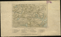 Map of Salem Village 1692 Map of Salem Village in 1692 along with property owners and historical buildings. Digital copy available at Norman B. Leventhal Map Center.